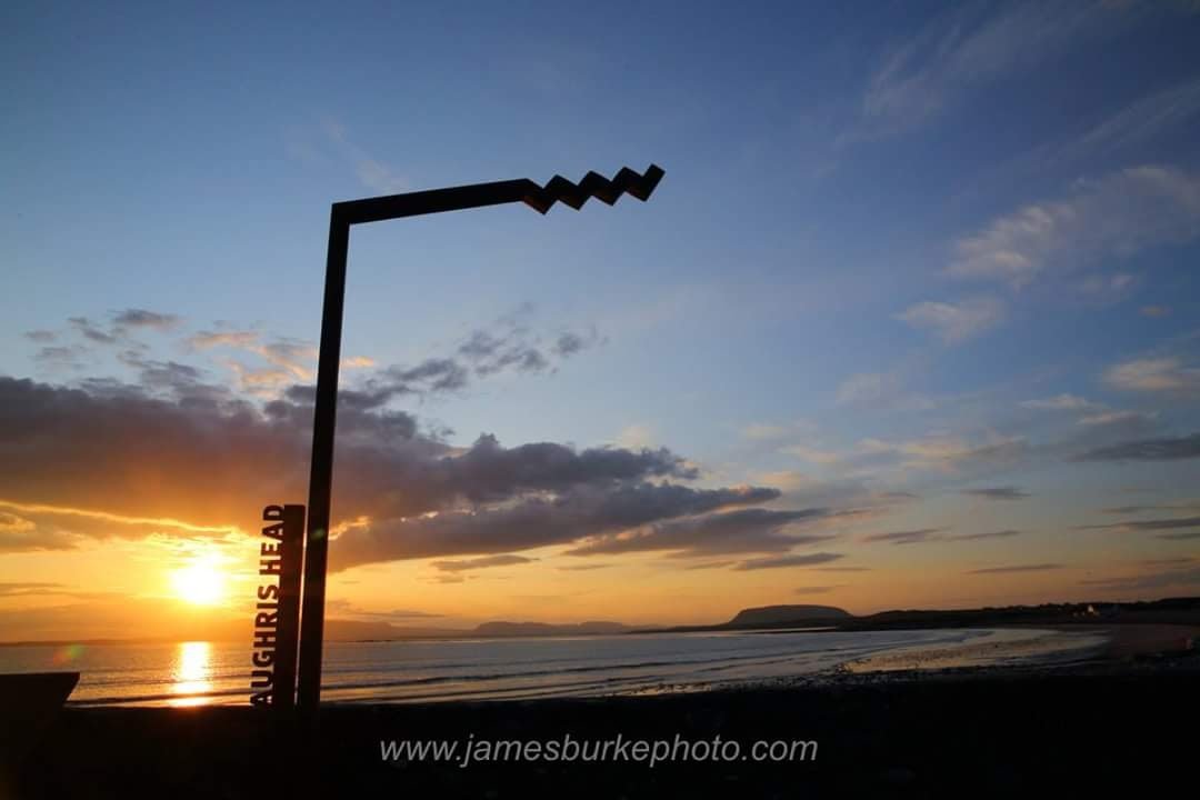
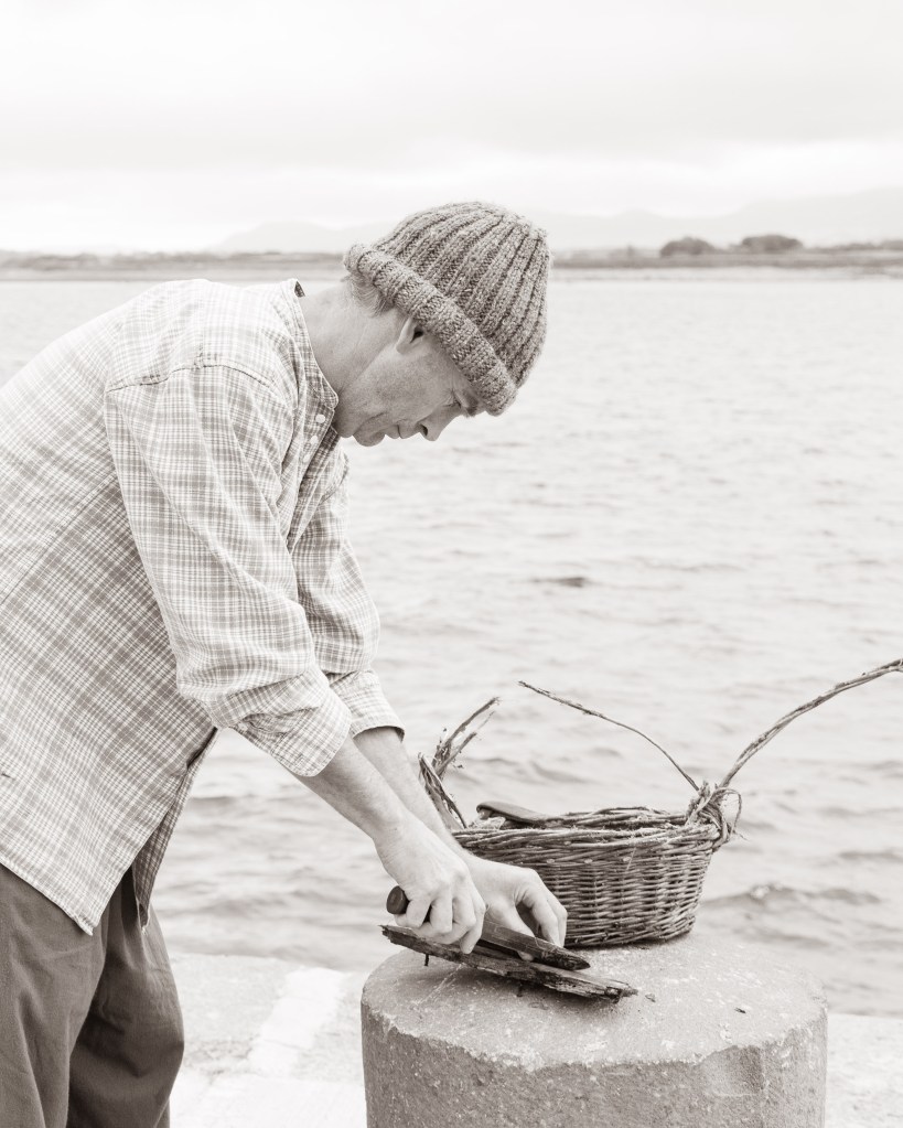
Aughris Pier
Assemblies at the Pier
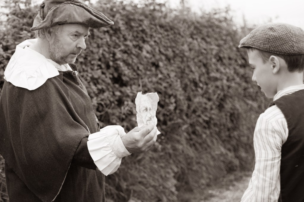
The fields around Aughris Pier were used for political meetings in the late 19th and early 20th centuries. Charles Stewart Parnell’s assembly of 1890 drew large crowds here and an Irish language movement rally was attended by an estimated 8,000 people and was addressed by Douglas Hyde and JP Henry on Garland Sunday 27th July 1901.
For reasons undocumented and long lost in oral tradition, at the turn of the 20th century, the Aughris headland on the north Connacht coastline was still regarded as the Tara of the Barony of Tireragh.
Reporting on the Irish language movement rally, The Sligo Champion (3 August, 1901), recorded that: “The place of meeting was no less appropriate for such an occasion, as Aughris has many historic associations which recall the days when our grand old language flourished and the language of the foreigner was unknown.”
In 1918, the final year of World War 1, an anti-conscription rally was also held here.
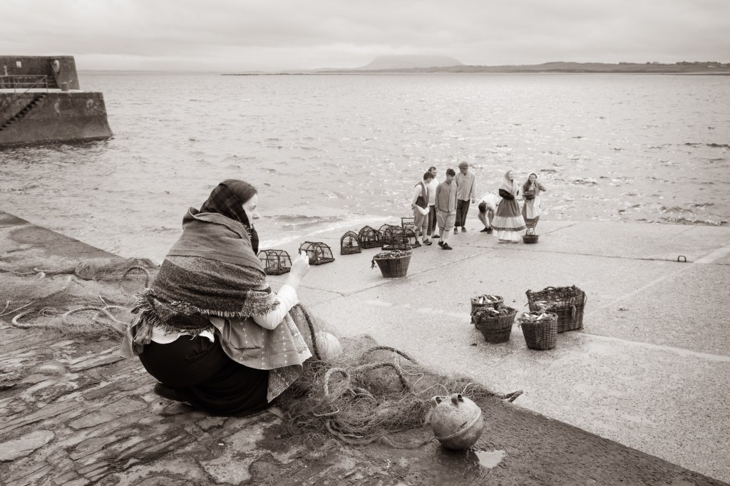
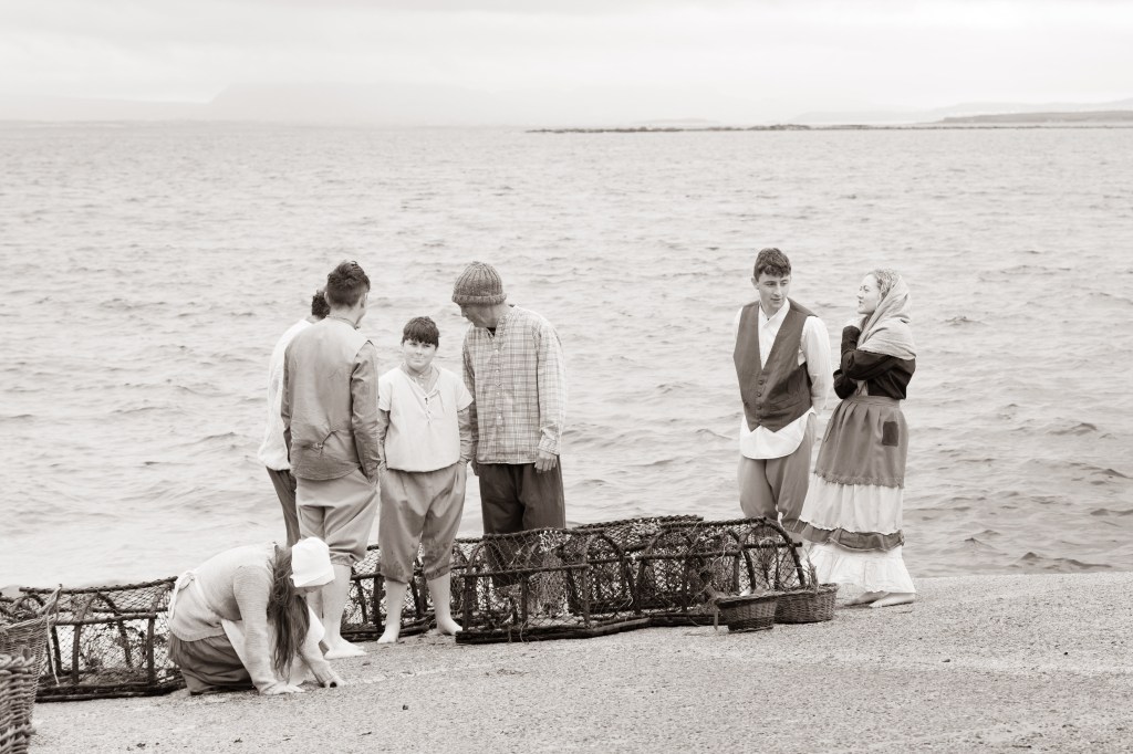
Aughris Pier was constructed in the latter part of the 19th century. At the turn of the 20th century there were 20 boats fishing from there. Most of the people in the area worked in agriculture and supplemented their income by fishing. During the War of Independence guns were brought ashore here.
Now the pier is used by local fisherman, leisure enthusiasts, and for running water safety courses.
Promontory Fort
Promontory Fort
Aughris Promontory Fort is known locally as O’Toole’s Castle and it stands proudly overlooking the bay of Pollaree (the bay of the king).
Legend tells us there was a fierce Viking battle here in the 9th century when the island of Innismurray was raided by the Vikings. The story goes that from Innismurray the Vikings spotted the monastery on Aughris Headland and travelled across the bay to plunder its riches. According to legend, treasure was buried under the mound. But in order to retrieve it a life had to be lost so no one ever searched for it – follow the example of the Viking raiders!
Promontory forts date from the Iron Age and are mostly found in Ireland, as well as in Cornwall, Orkney Islands, Isle of Man and Brittany. A promontory fort is a fortified coastal headland, the seaward sides are naturally defended by a cliff, while ramparts of earth or stone protect the landward side. The main purpose in using a headland for fortification was to take advantage of the natural defence provided by a vertical cliff face. Over 350 promontory forts have been identified along the coastline of Ireland.
These structures have also been identified as trading bases, ceremonial enclosures, observation posts and livestock pounds.
Above all, promontory forts were built for protection. During the Iron Age, more people had weapons such as swords and spears and therefore communities needed to defend themselves from attack. Today all that remains of Aughris Promontory Fort is the mound, a reminder of the exposed nature of the site and of the harsh conditions in which people survived here from the Iron Age through to medieval times.
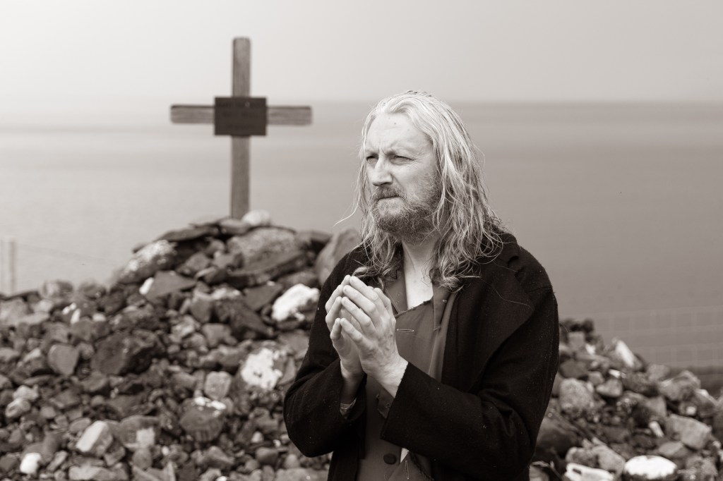
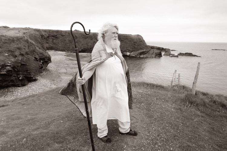
St. Patrick’s Well
St. Patrick’s Well
Pilgrims have travelled since Christian times to complete Stations and prayers here at St. Patrick’s Well. Pick up 3 pebbles, recite prayers and then toss the pebbles onto the pile of stones in the centre of the enclosure.
The Mass Rock here served as an Altar during penal times through most of the 17th century. During this period, Catholic worship was banned on pain of death, and so local people had to gather here in secret to pray. The local priest was hunted by English soldiers and was hidden in Aughris village under the guise of a tradesman. There was a price on the head of a priest of £5 and £2 for a monk.
A local priest – Fr Flannelly – is known to have had a narrow escape from the authorities while he prayed at this spot.
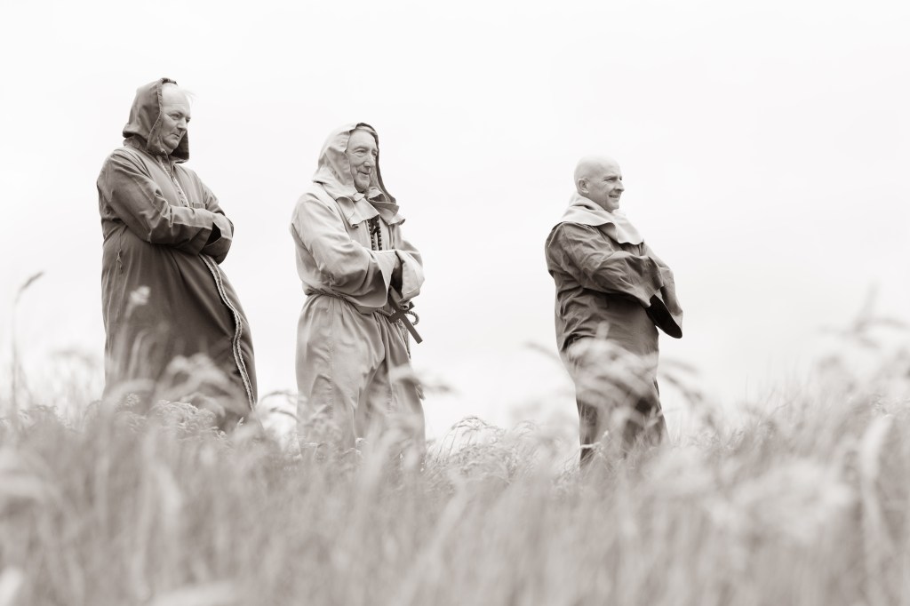
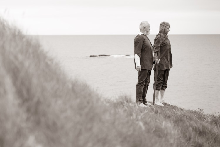
Aughris Church & Monastery
Aughris Church and Monastery
As you journey along the coastline, you are following in the footsteps of the ancient monastic holy men who resided here on the headland. While we don’t know its precise location, The Monastery of Our Lady of Aughris of the Order of St Augustine was founded near here in 1280 by the O’Dowd chieftains of Tireragh. The monastery had connections with Innismurray Island through St. Molaise and as result the dead of Templeboy were, for many centuries, buried on Innismurray.
The monastery was owned by the Augustinian Order, who also owned the nearby Church of Cill Corcaigh (1170 AD). Its name is listed in 15th century Papal documents and the last known reference to its existence was made by William Petty in the Downs Survey of the late 17th century, where it is described as ‘a ruinous church, having a belfry with a castellated finish.’
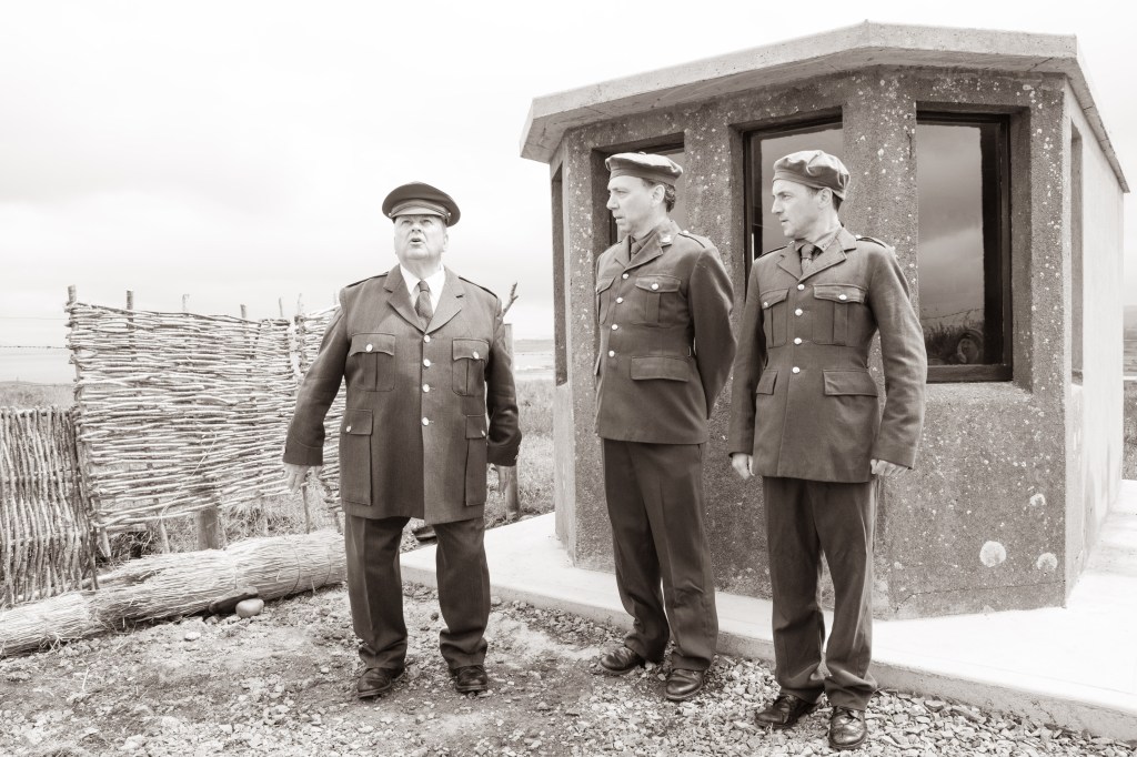
The Look Out Post
Look Out Post No. 67
This small, square concrete hut played a significant role during World War II, or the Emergency as it was referred to in this country. Though Ireland remained neutral throughout the conflict of 1939-‘45, the war impacted on people in many different ways, particularly through the rationing of food, fuel and clothing.
But the areas around Aughris also witnessed the war at first hand, from the body of a German soldier being washed ashore through to the sighting of Allied aircraft. Despite the Irish Free State’s neutrality the country was on a defensive military footing for the duration of the war, and this led to the construction of 83 LOPs (Look Out Posts) which were constructed on headlands around the entire Irish coastline.
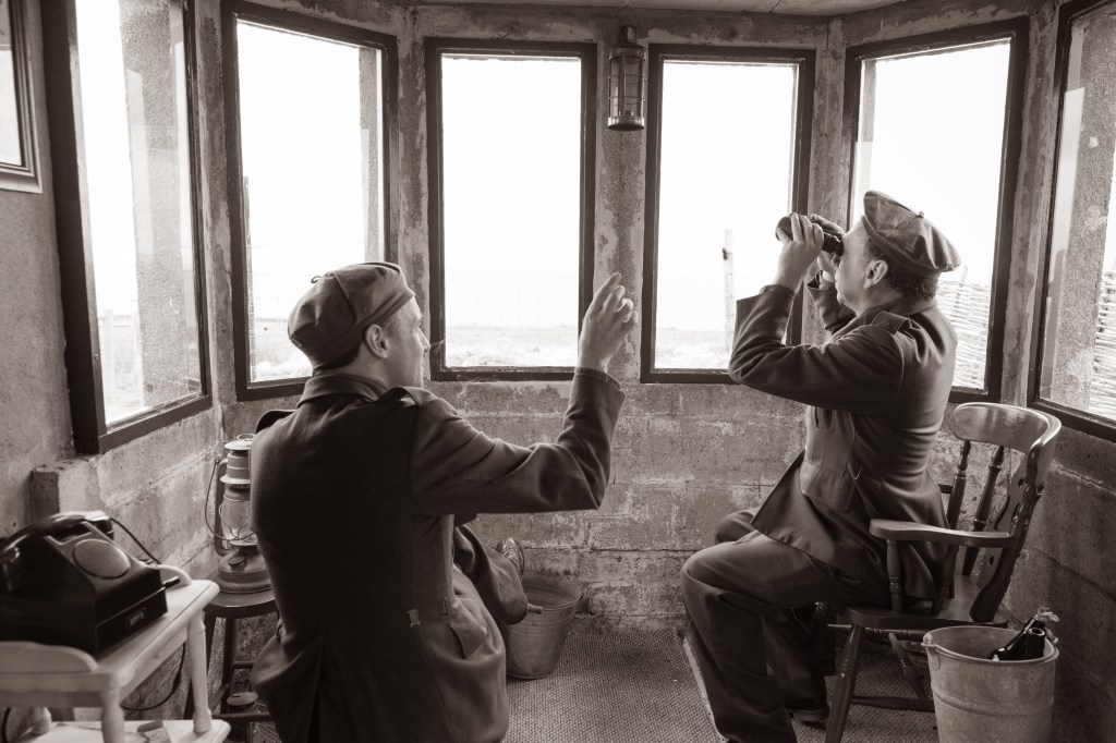
This LOP was manned by 7 men, mainly local volunteers, who watched over the seas to warn of attack or to report any military sightings to the authorities. Sligo LOPs had been built by the Winter of 1939-’40 and were made from pre-cast blocks which were delivered to the site. As temporary buildings, these structures were prone to let in wind and rain, and during stormy weather the walls and windows could leak badly. The tiny fireplace inside was said to have been of little use for burning turf, and in many instances the chimneys smoked.
With the possibility of a German invasion looming, telephones were installed at the LOP huts during the summer of 1940. Prior to this, coast watchers’ reports had to be conveyed by bicycle or by foot several miles away to the local Post Office.
By 1940 LOPs were to have a telescope, binoculars, drawings of various aircraft and ships, a logbook, signal flares, lamps, oilskin jackets and hats for each member and a bicycle.
By March 1944, over 20,000 aircraft were reported flying near or over Ireland. With the increasing numbers of aircraft there was a growing number of forced landings and crashes caused by crews losing their bearings or aircraft running low on fuel. It was then decided to construct large markers reading ‘EIRE’ adjacent to LOPs to indicate to aircrews that they were passing over Ireland.
Aughris was given the number 67 which was etched in a lime filled trench in the field adjacent to the LOP.
The log books of Aughris indicate the sighting of over a dozen American B17 Flying Fortress bombers and many Catalina Flying Boats on U-boat patrol. Other events recorded included the sighting of a mine which was seen drifting 6 miles west of Aughris in June 1941, and the washing ashore of the body of a German soldier near Templeboy who was buried in the old graveyard there.
Another example of how the war had a tangible impact on the community came about in 1940, following the sinking by German U-Boat of the Blue Star Line’s Arandora Star, sailing from Liverpool to St. John’s Newfoundland on 2 July of that year. Over 800 people lost their lives as it sailed off the coast of Bloody Foreland, Co. Donegal. Throughout the month that followed, over 200 bodies were washed up onto the west coast, including that of an unidentified Italian man, who was subsequently buried in nearby Easkey graveyard.
The Deserted Village
The Deserted Village
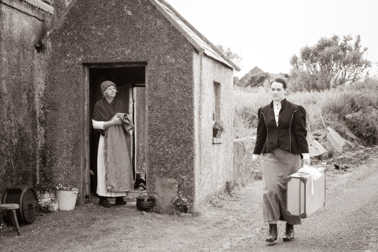
Aughris Village is understood to have been established here in the early part of the 19th century. It had its humble beginnings as a clochán – the name given to a cluster of single storey dwellings occupied by farmers and fishermen. Farms would consist of a few acres with some comprising just one or two acres.
From 1841 to 1851 the population decreased from 269 to 207 due to the Famine and emigration. By 1861 the population had increased to 812 but had decreased again to 400 by 1871 due to mass emigration.
In 1901 the residents included 3 blacksmiths, 2 dressmakers, 2 publicans, 3 teachers, 2 tailors, 2 shopkeepers, a carpenter, a bootmaker, a washerwoman and a plasterer.
The remains of some of the houses are still visible. Aughris townland was part of the Cooper estate of Markree until the early 20th century when ownership was given over to the tenants.
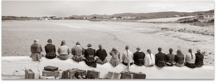
The demise of the fishing industry devastated the local economy and as a result mass emigration ensued. Shipping records show that as many as 16 young people departed from the village for America on a single day. One person would remain to care for parents and so began the demise of the village. By the end of the 19th century, just 108 people were recorded as living here. The last resident of the village was Sissy Martin, originally from the US, who died in 1993.
After a visit to Aughris in 1973 a reporter for the Evening Press published an article titled ‘The Town That Died.’Today however, one of the houses has been restored and the hope is that life will continue to return to this area in the future.